How Accurate Measurements Improve Boating Safety?
Out on the water, the difference between a smooth journey and a hazard often boils down to a few inches or a matter of seconds. Relying on visual estimation is a common gamble that frequently leads to grounding incidents or mechanical damage. Precision is the foundation of maritime security, yet many operators overlook how exact data points safeguard their vessels.
True situational awareness starts with concrete numbers rather than guesses. By moving away from rough estimates, operators gain the ability to manage risks before they manifest into expensive or dangerous situations.
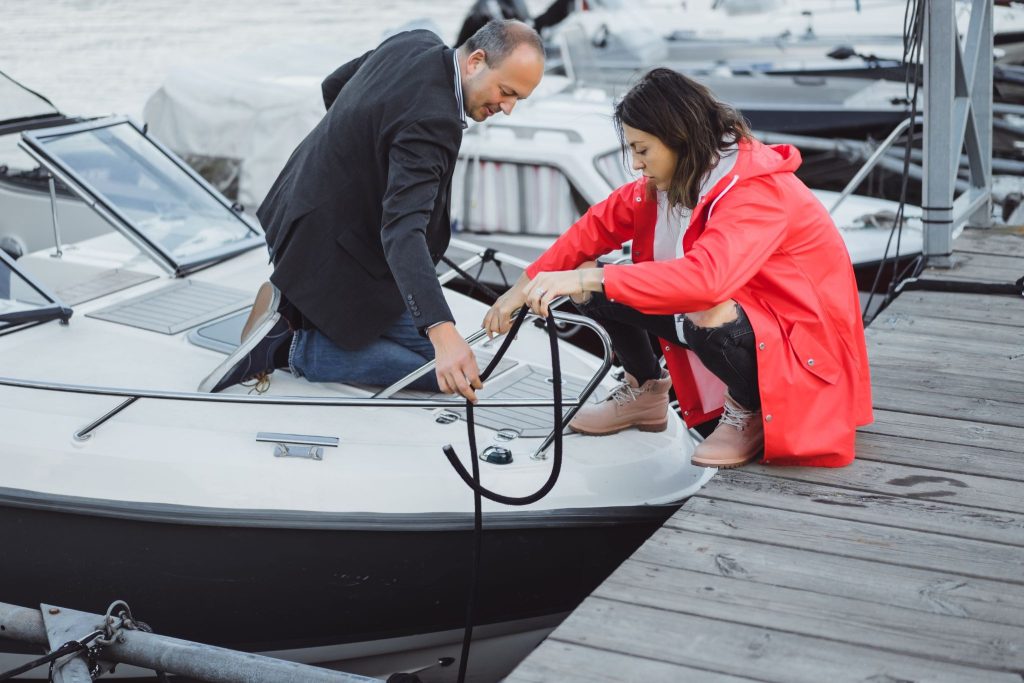
Image source: Magnific
Why Precise Measurements Matter More Than Intuition?
Human perception of distance and scale is notoriously unreliable when surrounded by the vastness of open water. What looks like deep water near a bulkhead can easily conceal a shallow shelf or submerged debris. Relying on equipment readings provides an objective truth that removes the guesswork from docking or entering a channel.
Operators often utilize a digital height comparison tool like https://easyheightcomparison.com/ to ensure their vessel’s vertical clearance matches bridge heights. This proactive step prevents collisions that result from simple miscalculations of tide levels and air draft.
What Impact Does Tide Variation Have on Clearance?
Water levels fluctuate significantly depending on lunar cycles and local geography. Failing to account for these shifts turns a safe passage into a high-risk maneuver within minutes. Analyzing the exact water height is mandatory for modern navigation, as relying on visual cues often ignores the complex physical realities of dynamic waterways.
To manage these hazards, the U.S. Geological Survey maintains a massive multipurpose network that monitors water conditions nationwide. As of October 2024, this system supports the delivery of critical data at over 12,000 sites, comprising 8,705 continuous streamflow stations and 3,460 water-level-only sites, proving that even inland waterways require constant, evidence-based monitoring.
How Do Depth Sounders Prevent Grounding Incidents?
Depth sounders serve as the primary defense against running aground in unfamiliar territory. These devices provide continuous feedback that allows operators to adjust course well before reaching dangerous shallows. Interpreting the sensor data is the core of this safety process.
Learn more about the boating safety scale (BSS) and always check Weather Conditions.
Role of Transducer Placement
Proper placement of the transducer ensures that the signal remains accurate even at higher speeds. When mounted correctly, the device avoids aeration and turbulence, providing a clear picture of the bottom topography that is essential for maintaining a safe under-keel clearance.
Interpreting Bottom Contour Data
Reading the bottom contour helps identify soft mud versus hard rock or coral shelves. Knowing the composition of the seabed allows for better decisions during anchoring, as it informs the operator about potential holding power and the risks of dragging into shallower water.
Where Does Equipment Calibration Save Your Vessel?
Calibration transforms raw electronic signals into actionable safety data. A depth sounder that is off by even a few inches can lull an operator into a false sense of security. Regular maintenance ensures the displayed depth matches reality.
When instruments are not synchronized with the vessel’s current draft, the displayed distance to the bottom becomes misleading. Always factor in the offset between the transducer location and the deepest part of the keel to maintain a genuine buffer during shallow water operations.
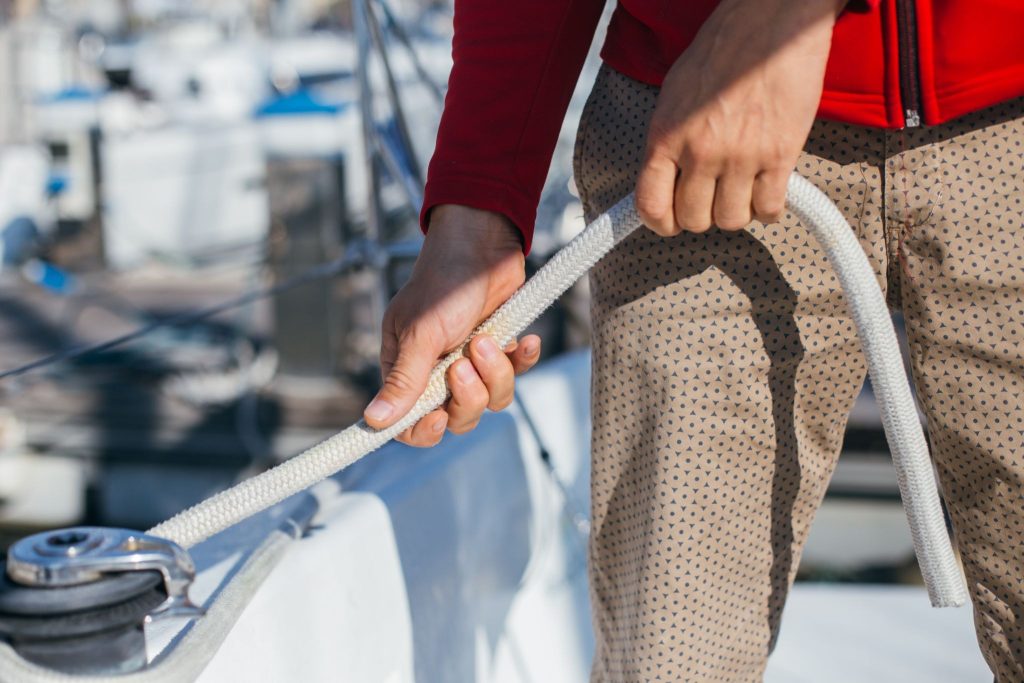
When Should You Trust Manual Measurements?
Electronic systems are excellent, but they are not infallible. Situations like heavy weed growth or air bubbles trapped under the hull can cause sensor failure. Manual verification remains the final standard for safety in high-risk zones.
Using a weighted sounding line provides an instant, physical confirmation of the depth. This manual method should be the standard practice when entering uncharted anchorages or moving through waters where electronic interference from other vessels might compromise the accuracy of sonar equipment.
How to Debunk the Myth of Visual Depth Estimation?
Many experienced boaters believe they can judge water depth simply by looking at the color or clarity of the water. This is a dangerous myth that ignores the role of light refraction and bottom sediment. Water color varies based on turbidity, not just depth.
This false confidence often leads to catastrophic grounding incidents when captains mistake clear, shallow water for deep, open channels. Relying on visual cues instead of precise electronic instrumentation ignores the physics of light penetration, which renders human depth estimation inherently unreliable.
Why Do Data Logs Improve Long-Term Safety?
Maintaining a log of measured depths and tide heights creates a personal reference library for your most frequented routes. These records provide context that electronic charts may lack, such as small seasonal changes in shoaling or silt buildup in channels.
By documenting the relationship between your specific vessel draft and the local tide levels over time, you build a safety profile that prevents repeat mistakes. Consistency in recording these measurements ensures that you always know exactly where your vessel belongs.
Pre-Departure Measurement Checklist
Rushing off the dock without verifying a few key numbers is one of the most common ways recreational boating trips go wrong. Run through these checks before every departure — they take under ten minutes and can prevent a costly or dangerous situation on the water.
1. Confirm your vessel’s current draft
Your boat sits lower in the water when fully loaded. A vessel with a manufacturer-listed draft of 2.5 ft can easily draw 3 ft or more with a full fuel tank, freshwater tank, gear, and passengers aboard. Weigh or estimate your total load and factor that into every clearance decision for the day.
2. Check the tide tables for your route
Pull the official tide predictions from NOAA (tidesandcurrents.noaa.gov) for every inlet, channel, and anchorage you plan to pass through — not just your departure point. Note the predicted height at the time you expect to be at each location, not just at departure. Tides can shift by a foot or more during a half-day trip.
3. Calculate your air draft
Measure from your waterline to the highest fixed point on your vessel (typically the VHF antenna or radar arch). Write this number somewhere visible in the helm area. Cross-reference it against any bridge you plan to pass under, using the predicted tide height to adjust the listed clearance.
4. Verify your depth sounder is reading correctly
In a known depth at your marina or launch ramp, compare your depth sounder reading against the charted depth adjusted for current tide height. A discrepancy of more than a few inches means your offset or calibration needs attention before you leave.
5. Note the shallowest point on your planned route
Pull up your chart plotter or paper chart and identify the minimum depth along your route. Subtract your loaded draft and leave a safety buffer of at least 1–2 ft. If that math doesn’t work at your planned departure time, adjust when you leave.
6. Pack a manual backup
Carry a weighted sounding line or a marked paddle for manual depth checks. Electronics fail — especially around heavy weed growth, aerated water, or interference from other vessels. A manual check takes 30 seconds and removes all doubt.
How to Use a GPS Chart Plotter Accurately
A chart plotter is one of the most powerful safety tools on your boat, but it comes with a limitation most operators don’t learn until it matters: the chart and reality are not always the same thing. Understanding where that gap exists — and how to account for it — is what separates confident navigation from false confidence.
Understand chart datum and positional offset
Most electronic charts are built on survey data that may be decades old. Shoaling, silt buildup, and shifting sandbars change the actual bottom over time without updating the chart. In some regions, the GPS position of your vessel and the charted position of a hazard can differ by 30–60 feet due to differences in the coordinate systems used. Never treat the chart as a live picture of the bottom — treat it as a useful but imperfect reference.
Use the largest scale chart available
When approaching a marina, inlet, or shallow channel, zoom in to the most detailed chart layer available. Small-scale overview charts compress detail and can make a 4-ft shoal look like open water. Most chart plotters will display a “scale warning” when you’re zoomed too far out for the conditions — take that warning seriously.
Cross-reference with your depth sounder in real time
The chart plotter tells you what the bottom should look like; the depth sounder tells you what it actually looks like right now. Run both simultaneously and treat any disagreement between them as a reason to slow down immediately. If your plotter shows 12 ft but your sounder reads 6 ft, trust the sounder.
Set a shallow water alarm
Every modern chart plotter has a depth alarm function. Set it to trigger at your draft plus a safety buffer — for a boat drawing 2.5 ft, a 5-ft alarm gives you time to react before things get dangerous. Many operators leave this turned off. Don’t.
Don’t follow the magenta line blindly
The suggested route your chart plotter draws is based on chart data, not a live survey of the water. In unfamiliar areas, shallow inlets, or anywhere after a major storm, verify that the suggested path actually matches safe water conditions before committing to it. Local knowledge, harbor master guidance, and current cruising guides are all worth consulting alongside your electronic charts.
Common Questions About Boating Safety Measurements
What is the best way to account for tide height?
Always consult official local tide tables and check the current datum. Subtract or add the predicted height to the chart depth to determine the actual water depth under your keel.
How often should depth sounders be calibrated?
Calibration should occur at the start of each season or after any hull maintenance. Regularly compare the electronic reading against a physical measurement in known depths to verify accuracy.
Can weather affect depth sensor readings?
Yes, heavy storms increase sediment and air bubbles in the water. This debris causes “noise” on the screen, potentially obscuring the true bottom and making accurate depth readings significantly more difficult.
Why is air draft important for inland boating?
Air draft is the distance from the waterline to the highest point of your boat. Knowing this exact figure is necessary to avoid bridge collisions, especially during changing tide conditions.
#boatingSafety #safetyMeasures
Read Related Articles:
- How to Register a Boat in Canada | Update 2026
- New Hampshire Boat Registration
- How to Register a Boat in British Columbia | Vessel Licensing and Registration in British Columbia
- Vessel Search Platforms: How to Find Any Boat’s History and Location
- Best Marine Surveyors in New York City
Categories: To learn more about Boat-Alert.com History Reports for used boats and boat values by hin visit: www.Boat-Alert.com